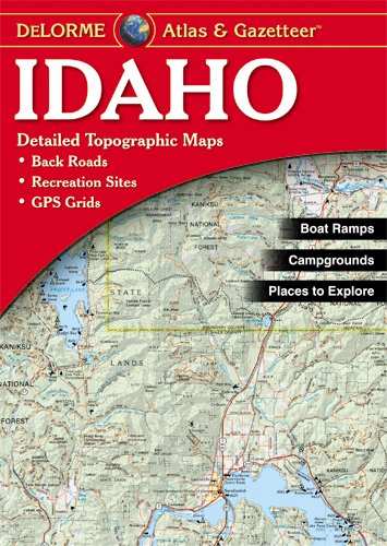
Description
- Amazingly detailed and beautifully crafted, large-format paper maps for all 50 States
- Topographic maps with elevation contours, Major highways and roads, dirt roads, trails and land use data
- Gazetteer section contains information essential for any outdoor enthusiast, such as points of interest, landmarks, scenic drive recommendations and more (Note: available information varies by State)
- Perfect for sightseeing, exploring back roads, outdoor recreation and trip planning
Rely on delorme ATLAS & gazetteer paper maps for the utmost in trip Planning and backcountry access. It's available in paperback (11-inches x 15.5-Inches) for all 50 States.